Haghartsin: On the way to the holy monastery
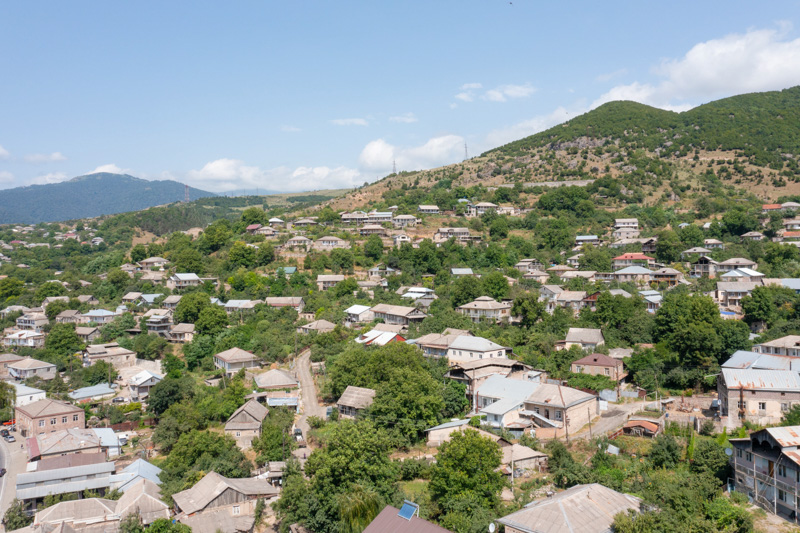
- Population – 3 842 people (2014)
- Distance from Dilijan– 11 km
- Elevation – 980 m
- The climate is temperate, mild
- Average temperature:
- in summer +19 C
- in winter -2 C
- in summer +19 C
- Date of foundation – 1815
- Former names – Jarkhech, Kuibyshev
Haghartsin is one of the oldest villages in the Tavush region, located 11 km northeast of Dilijan, on the left bank of the Aghstev River. Nearby (2 km to the west) is the village of Teghut, which was previously one of the districts of modern Haghartsin.
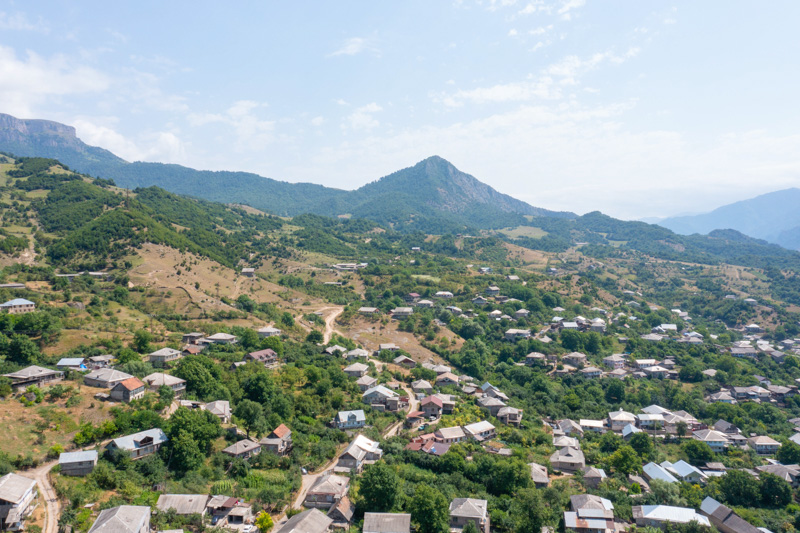
Haghartsin is one of the key crossroads of the region since the highway connecting Ijevan and Berd with Dilijan, Hrazdan, Vanadzor, and Yerevan passes through it. Currently, Haghartsin is one of the most densely populated villages in Armenia (23rd out of 953).
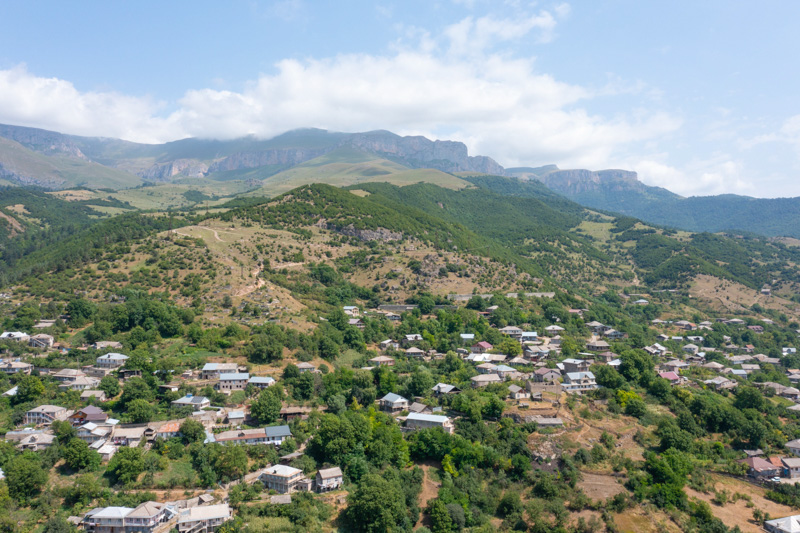
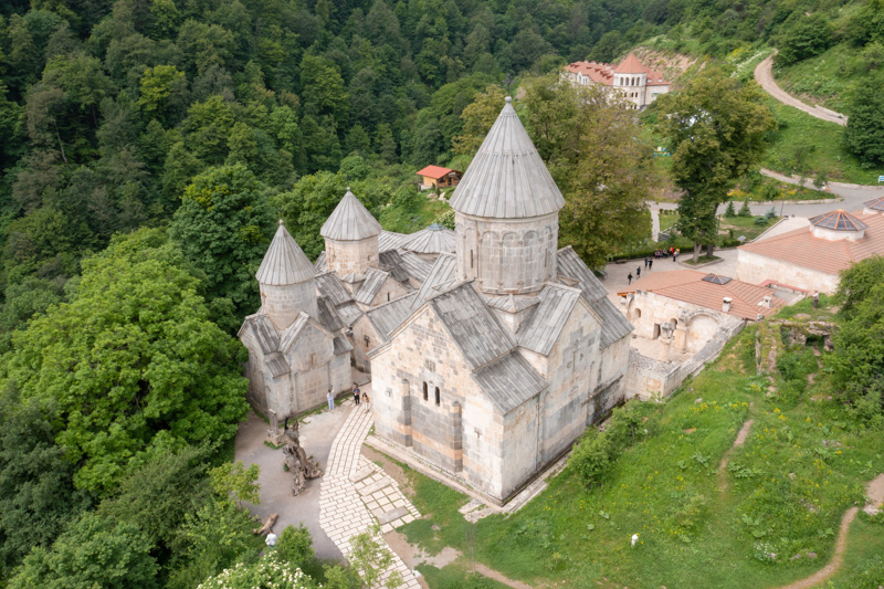
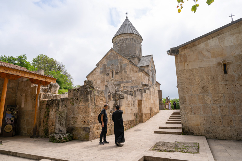
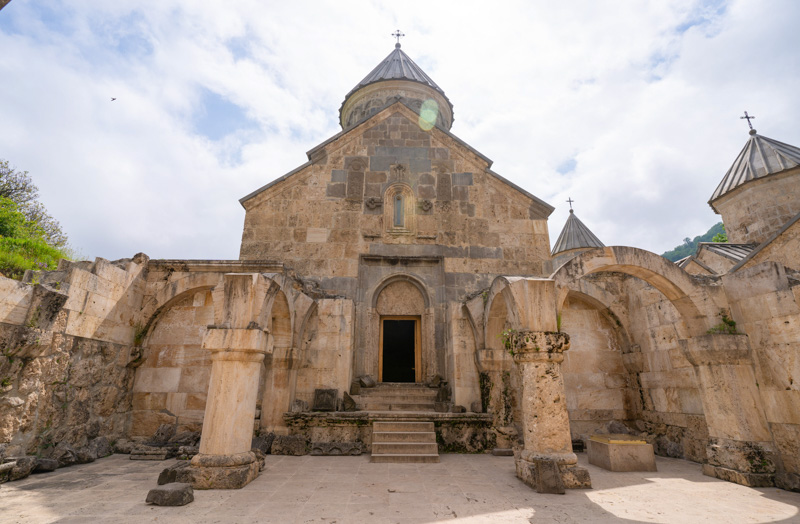
Mount Yeghegnasar (2670 m) rises above the village, and in its close proximity, one of the main sights of Armenia is located. It’s called the pearl of Armenian medieval architecture – the Haghartsin monastery complex (XI-XIII centuries).
The etymology of the word "haghartsin" goes back to the word “only-begotten" (“hagh” - whole, only, “tsin” - birth). Whereas, according to another version the name of the village is translated as "games of eagles" (“artisvneri khakh”).
According to official data, the village of Haghartsin was founded on August 11 1815 presumably by migrant families from Achajur and was called Jarkhech (4 crosses). Another version claims that the village was founded by Prince Jar Artsruni, and the word “Jarkhech” itself is translated as “support of Jar”. In 1940 the village was renamed Kuibyshev, and only in 1991 was it named after the monastery, Haghartsin.
The main branches of agriculture and employment:
- animal breeding,
- cultivation of field, agricultural plants,
- vegeculture, horticulture
- tobacco growing
- apiculture
- service sector (ztourism)
The environs of Haghartsin are rich in original, multi-colored mineral deposits, and sedimentary rocks. There are also iron deposits and aluminum bauxite. The rivers around Haghartsin are rich in fish varieties, the most valuable species being “murtsi” and “karmrahait”. In the dense forests of Haghartsin, there are ruins of 7 fortresses. They have a history of 300-5500 years. And 2 km to the east of the village there are 2 ancient, abandoned settlements. Whereas, in the northern part, there are the ruins of the temple "Jami takh" and the chapel of Surb Sargis. On the territory of the village itself the ruins of the temple of Surb Astvatsatsin (Holy Mother of God 1846) are preserved.
What's nearby?
- monastery complex Haghartsin
- Lake Parz
- Mount Abehakar
- forest fortresses (ruins)
- “Haghartsni Gata” bakery
Any other questions?
Our specialists will contact you as soon as possible

