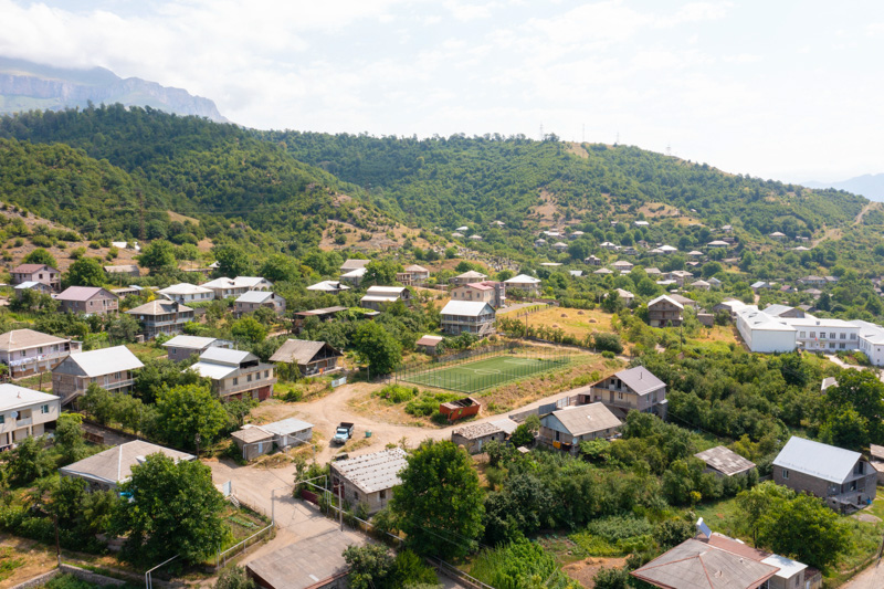
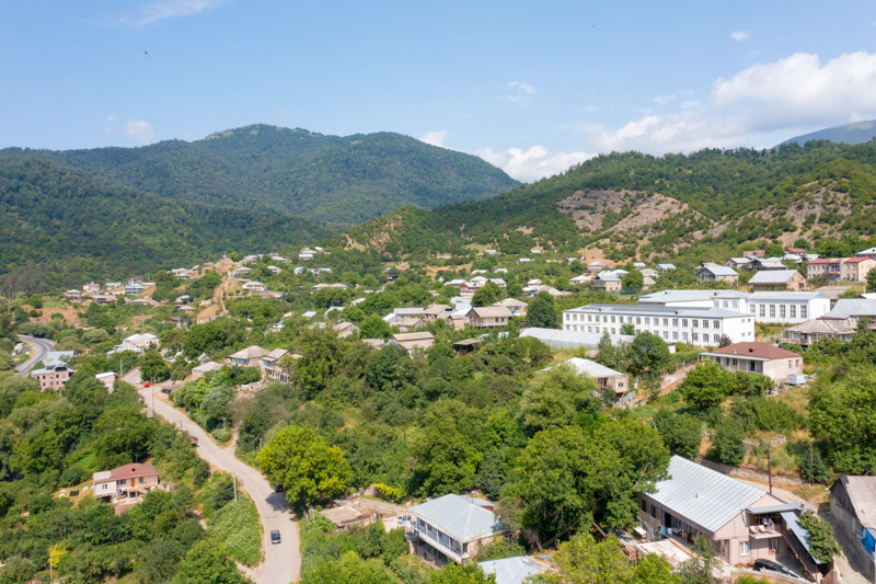
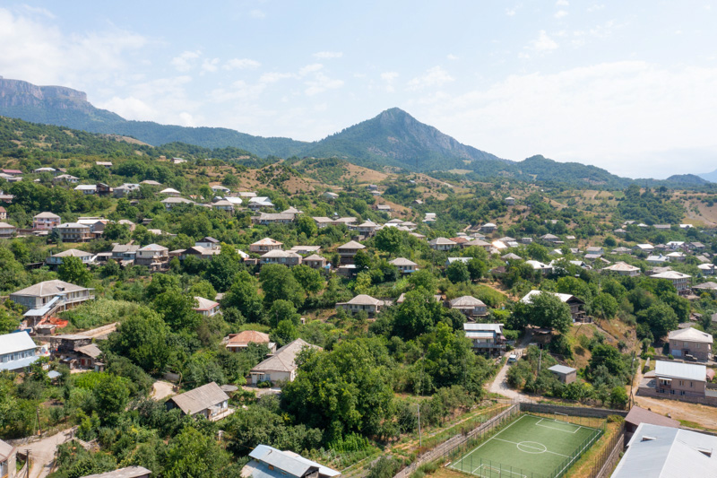
Khachardzan: picturesque valleys and pastoral landscape

- Population – 360 people (2011)
- Distance from Dilijan – 24 km
- Elevation – 1 050 m
- The climate is temperate, mild
- Average temperature:
- in summer +20 С
- in winter -2 С
- in summer +20 С
- Date of foundation unknown
- Dated mention of Khachardzan – 1991
Khachardzan is a small, mountainous village in the Tavush region, located at the mouth of the Khachardzan River. It is located at an altitude of 1,050 m above sea level and is characterized by picturesque mountain and meadow landscapes. Khachardzan is located next to Aghavnavank, so the landscapes and natural wealth of these villages may seem identical.

The etymology of the word “khachardzan” goes back to the roots of the word “khach” (cross) and “ardzan” (monument).
The main branches of agriculture and employment:
- animal breeding
- agronomy
- vegeculture

In the southern part of Khachardzan, the ruins of the ancient chapel “Khachi tap” can be found, as well as burial mounds dating back to the I-II millennium BC. Near Khachardzan there are also the ruins of the ancient settlements of Chermakavan and Geghatap.
What's nearby?
- the chapel “Khachi tap”
- the ancient settlements of Chermakavan and Geghatap
- picturesque valleys and meadows
Any other questions?
Our specialists will contact you as soon as possible


