Teghut: on the crossroads of Dilijan and Ijevan

- Population - 1583 people (2015)
- Distance from Dilijan – 8 km
- Elevation – 1 150 m
- The climate is temperate, mild
- Average temperature:
- in summer +19, +25 C
- in winter -2, -7 C
- in summer +19, +25 C
- Date of foundation – 1925 (as a district of Jarkhech)
- 1993 (as an independent settlement)
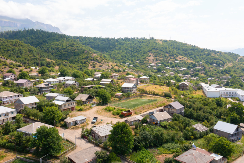
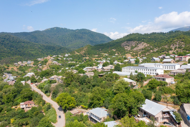
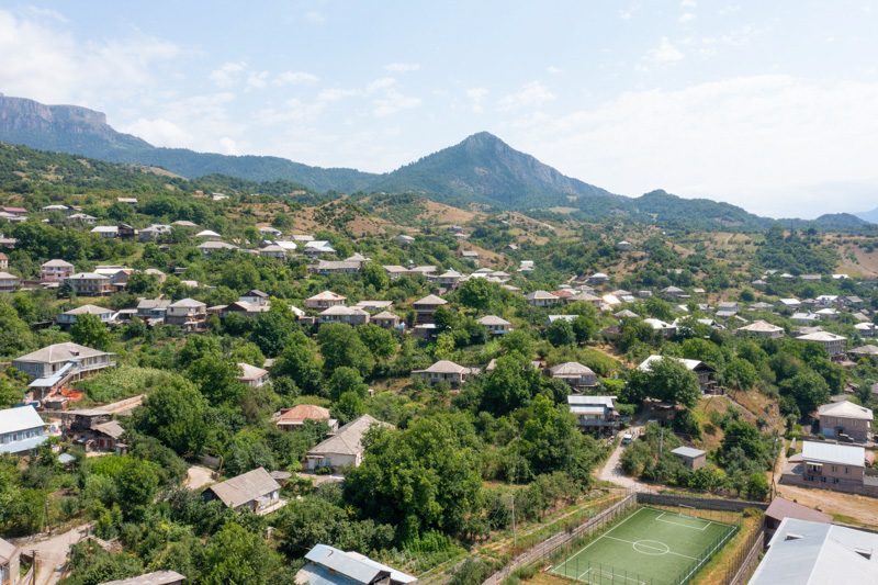
Teghut is a small village in the Tavush region, located on the left bank of the Aghstev River a few kilometers northeast of Dilijan. The village is located near the main road connecting Dilijan with the administrative center of the Tavush region, the city of Ijevan.

In a picturesque forest area not far from the village Lake Parz is located. It’s one of the most important natural landmarks of the Tavush region.
The Teghut community was founded in 1925 and was considered one of the districts of the village of Jarkhech (now Haghartsin). On November 5 1993 Teghut became an independent settlement.
The main branches of agriculture and employment:

- animal breeding
- field plant cultivation
- vegeculture
Artifacts from the Bronze Age and an Armenian cemetery with 6000 years of history were discovered on the territory of modern Teghut. And 5 km north of the village on the territory of "Cheri Gher" there are two boundary stones of the Armenian king Artashes I with inscriptions carved in Aramaic.
What to see nearby:
- Lake Parz
- monastery complex Haghartsin
- Jukhtak Monastery (Jukhtakvank)
- boundary stones of the times of King Artashes 1
Don't mix it up! In the neighboring Lori region, there is the same name village Teghut.
Any other questions?
Our specialists will contact you as soon as possible


